Commissioned by the Houses of Parliament in 2013, twenty sets of etched zinc tactile illustration panels will be used by Parliament’s Education Services for outreach to schools. The aim is to encourage discovery of the day-to-day working of Parliament through group investigation, idea sharing and role play.
More about the project can be found here.
The Woodhorn museum in Northumberland was opened to the public in October 2006. The brief for this project was to produce tactile floor plans of the ground and first floors, to be accessible and engaging for both sighted and unsighted visitors.
The panels are constructed from beech and steamed beech veneer with coloured acrylic detailing. The map detail of the first floor is raised up from the surface of the panel to emphasise that it is located on a different level to the ground floor.
Both panels contain a representation of the atrium access ramp as well as a tactile key label in large print and Braille.
Commissioned by the Royal Borough of Kensington and Chelsea, this piece is a tactile plan of the area around Exhibition Road, Kensington, including the Natural History, Science and Victoria and Albert Museums.
It is made from multiple layers of zinc etched panels bonded together, the first time such a multi-layered technique has been applied to zinc panelling in the UK.
A tactile wayfinding plan of Stoke Bruerne canal village, cast in resin with a bronze finish and acrylic large print and Braille labelling. It is on display at the Canal Museum in Stoke Bruerne, Northamptonshire.
The Talking Plan is a tactile orientation plan of the two
publicly accessible floors of the Laing Art Gallery,
mounted on a veneered beech plinth. The plan is cast
in black resin and has an electronic system mounted
underneath, which responds audibly to touch.
A tactile map of Baxter Park in Dundee, this piece is cast in bronze with an Italianate patina.
Three bronze tactile map panels were commissioned by Canterbury Cathedral in 2019 and installed in 2022 as part of a major Cathedral renovation project.
The panels are positioned on plinths around the Cathedral precinct and offer wayfinding and historical information with the aim of engaging visitors in the wider World Heritage Site and monastic past.
Images by kind permission of Canterbury Cathedral.
The tactile map of Merton was commissioned in early 2020 by the London Borough of Merton as part of the Common Sense project.
The aim of the project was to make a mobile and tactile wayfinding experience that engaged adults with visual impairment, hearing loss and autism with Merton Heritage Centre.
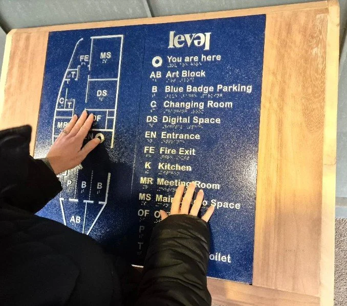
The painted etched zinc map is mounted on an oak plinth. The addition of simple hand-holds enables the map to be easily moved to outreach locations.
Images by kind permission of the London Borough of Merton.